High-resolution automatic forest monitoring.
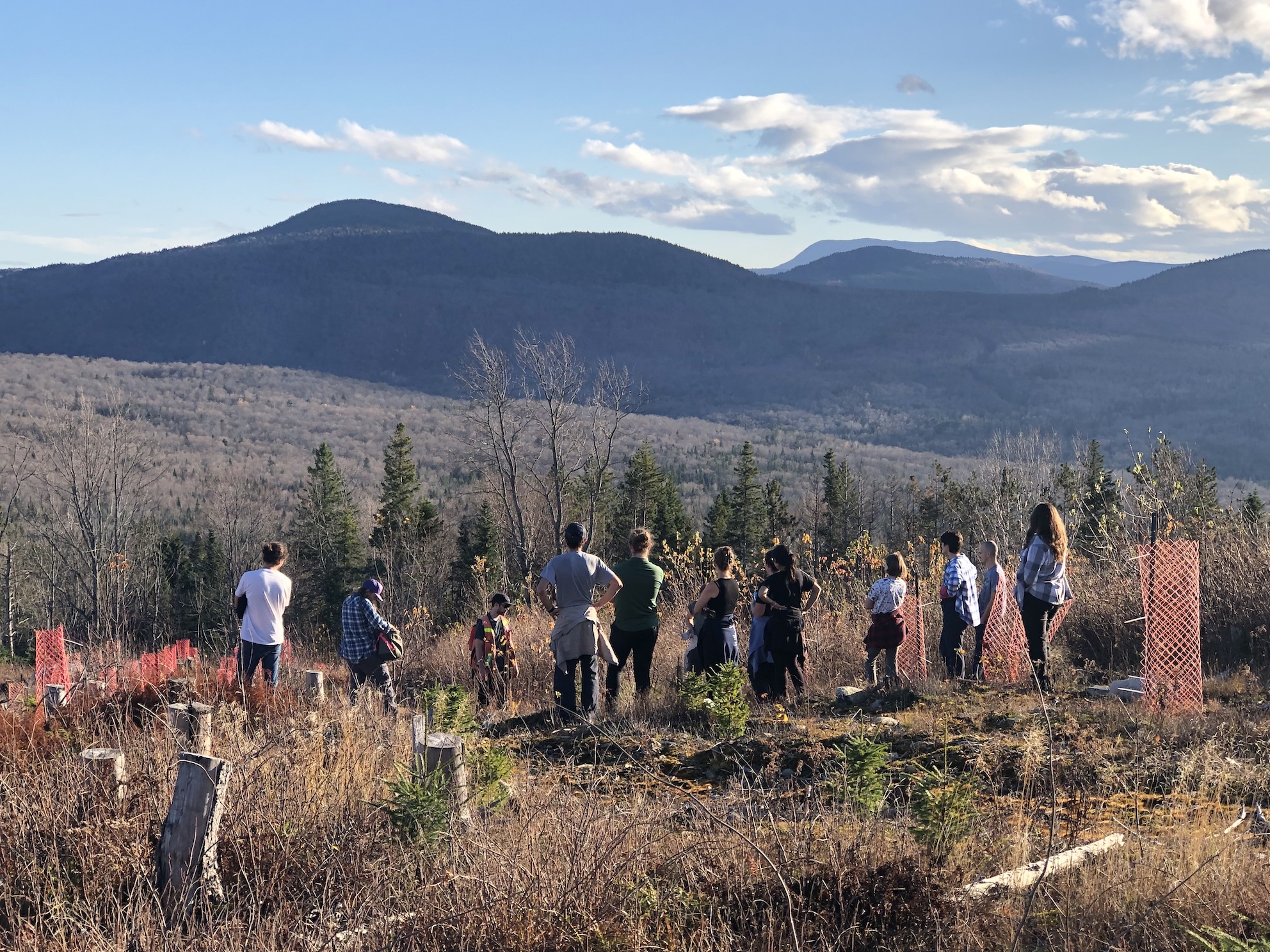
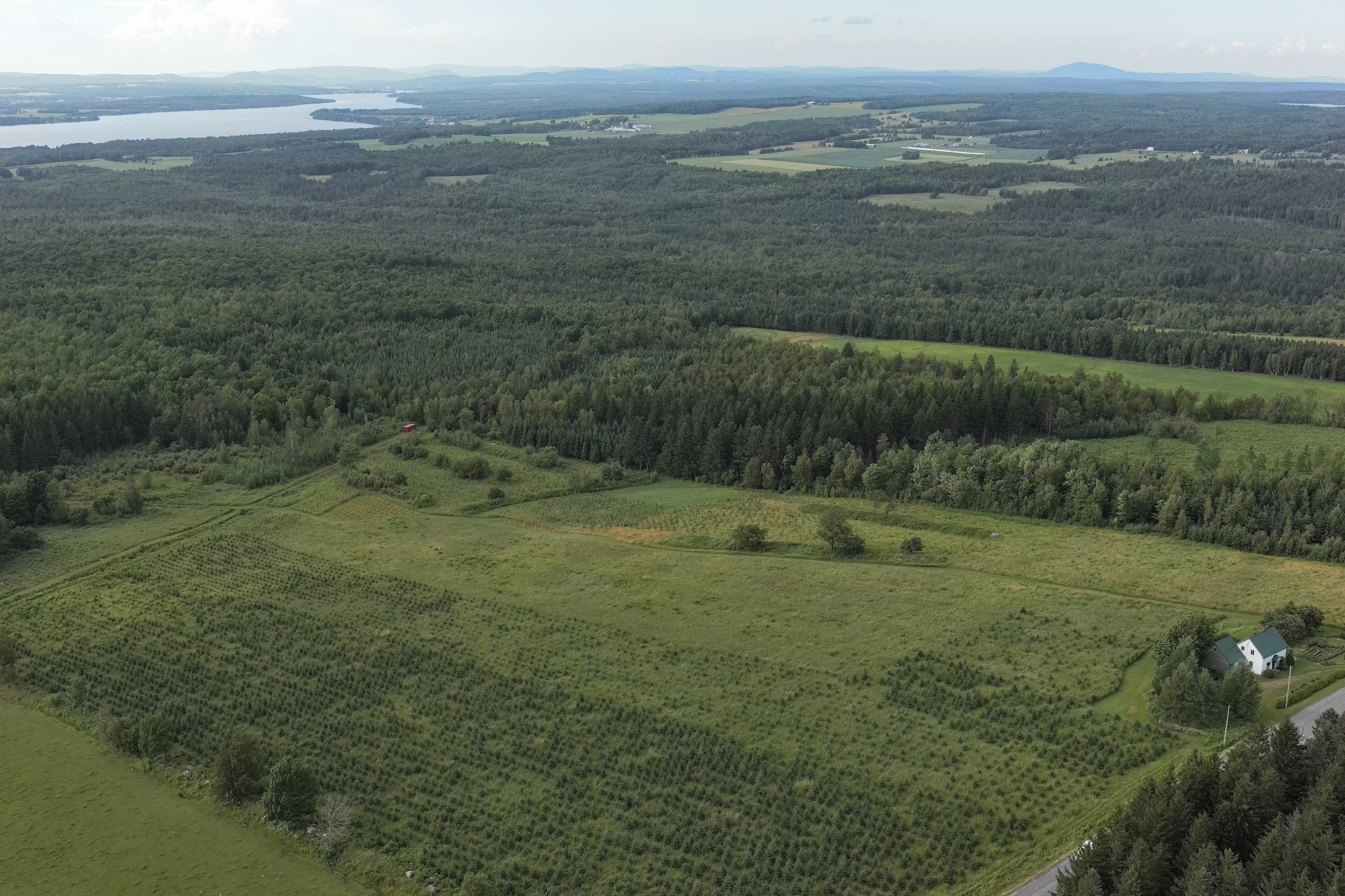
Rubisco AI is able to monitor forest restoration, conservation or management projects and provide key metrics such as tree species and carbon stock estimates at high resolutions (mm to cm) over relatively large areas (tens of hectares).
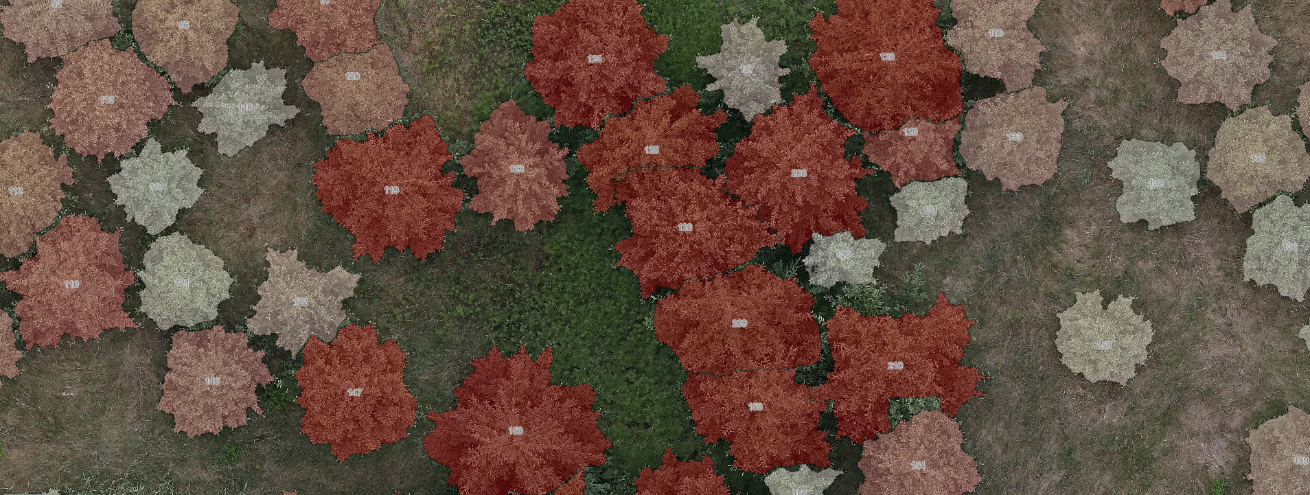
We will process your drone photogrammetry products (colour orthomosaic, point cloud) and provide you with a map of every single tree, its estimated height, crown and stem diameter, and the carbon it contains. We can also provide tree species identifications.
We can host your data and help you publish an interactive map of your imagery and our model products.
We can also offer drone imagery acquisition and photogrammetry processing services, as well as help you acquire ground data to fine-tune and/or validate models.
If you are interested, please contact our team for more information on our products and our methods.